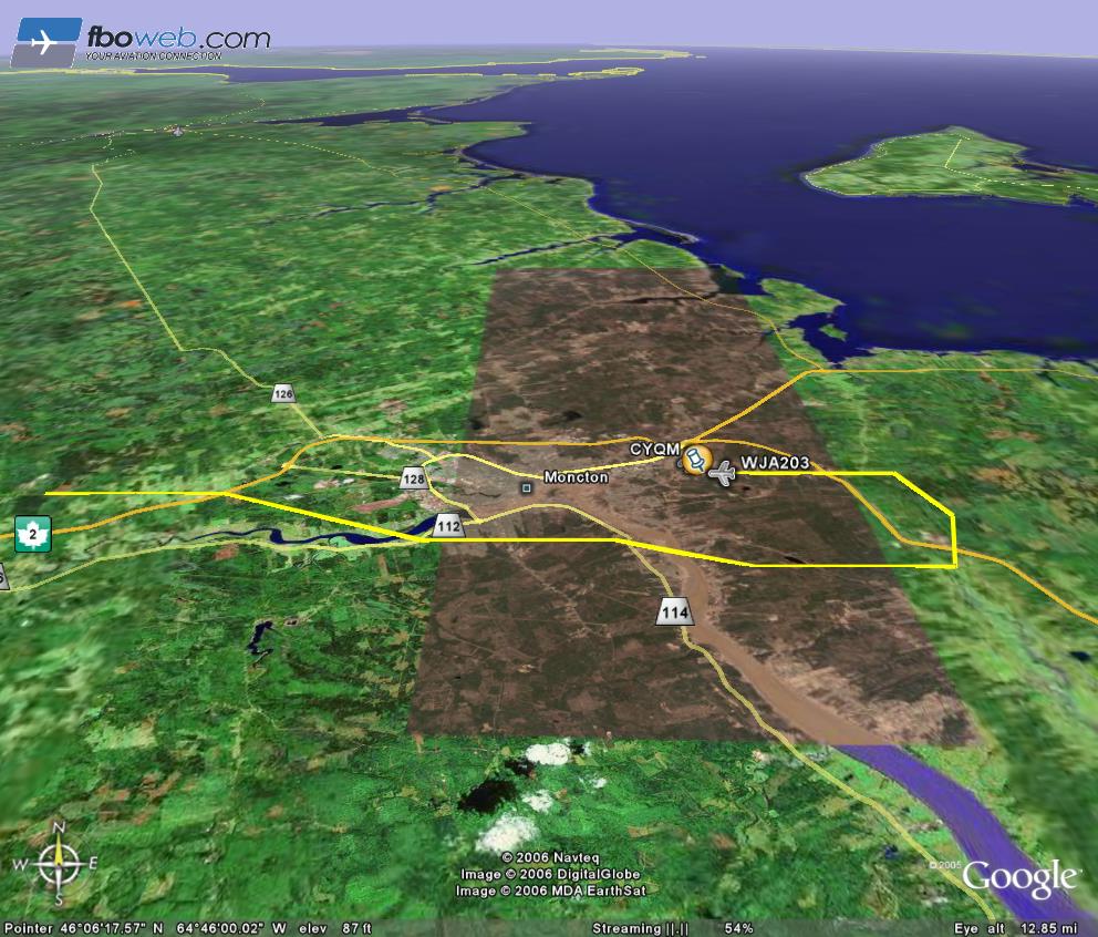
Using Google Earth I was able to track my mom’s flight home to the Moncton airport on Sunday night. Google Earth is one of the coolest programs I have come across in years, and this is just one of the reasons why. Someone has figured out how to put a layer with information about the flight you are tracking on Google Earth so you can see the altitude, direction, and flight speed. You can try it for yourself at www.aeroseek.com/webtrax/. If you don’t have Google Earth, it still has an image showing the location of the plane.
Unfortunately, I didn’t take a screen capture while she was still in the air because you could see the (exaggerated) height of the aircraft as well.